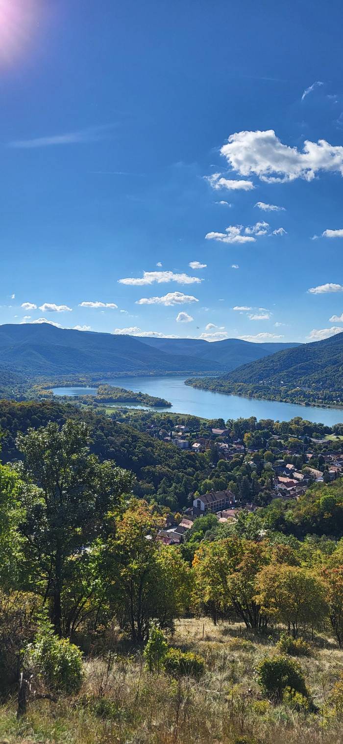
Full hiking day
Essentials day hike
Trails in the Bend's hills
- Length8 hours
- Hiking6 hours
- PickupBudapest
Interactive to-do list
Danube Bend Essentials - Day Hike from Budapest
★ 4.9 · 86 guest ratings
Things to do · 10 items
Tap items to tick them off. This device remembers your progress.
0 / 10 ready
All done. Only the date and the number of travelers are left to choose.
Book your placeA Danube Bend hike takes you from riverside villages into volcanic gorges and up to rocks above the water. Here are the trails, the paddling, the designated beaches and the safety rules that matter.
Editorial team, danubebendtour.com · Updated November 8, 2026 · Allow 8 min
Summary view
The Danube Bend is a walker's landscape. On the right bank rise the Pilis and the Visegrád Hills, on the left bank the Börzsöny, and the Duna-Ipoly National Park covers all of them together with parts of Szentendre Island.5 The ranges look alike from the river but walk very differently, so check which range your trail is in before you set out. Each has its own character, its own trailheads and its own crowd on a sunny Sunday.
The Visegrád Hills are volcanic, the product of eruptions about 20 million years ago, which is why they are full of rock towers, gorges and steep andesite slopes.6 The Pilis to the south is limestone and dolomite, and its name, of Slavic origin, means a bald crown.7 Across the river, the Börzsöny is another old volcano whose highest point today is the 939-metre Csóványos.8
All of them are close to Budapest and well marked, but the paths are real mountain paths: rocky, steep in places and slippery after rain. Good shoes, water and a downloaded map matter more than fitness. Most trails start from a village on the river, so you can combine a morning walk with lunch by the water and a train or boat home in the evening. Download the route before you leave, because phone signal fades in the deeper valleys.
Pick your trail
| Trail | Start | What to expect |
|---|---|---|
| Rám Gorge | Dömös | Ladders, one-way uphill, 112 m to climb |
| Holdvilág Trench | Visegrád Hills | Stream bed and a 10-metre ladder |
| Dera Gorge | Pilisszentkereszt | About an hour, fine for children |
| Spartacus trail | Visegrád Hills | Old hunters' path with a river view |
| Prédikálószék | Dömös or Pilisszentlászló | A 639-metre rock above the Danube |
Trail details as Pilis Park Forest and the Hungarian Tourism Agency describe them.9,1,14,15,16,17,18
The Rám Gorge above Dömös is the hike everybody talks about. Pilis Park Forest, which manages it, describes a volcanic gorge more than 35 metres deep in places and less than 3 metres wide in others, with a stream running along its rocky floor and 112 metres of height to climb inside the gorge.9,10 It draws more than 60,000 visitors a year.10 The scenery is the reason: mossy walls close in overhead, water drips from the rock and every turn of the path looks different.
Rules here are strict for good reason. For safety the gorge is one-way from Dömös: walk it only uphill, then come down by the yellow-stripe trail through the Lukács trench.1 Stainless steel ladders and handrails were fitted on the hardest sections in 2005.11 The forestry company calls it one of the hardest marked trails in Hungary, warns that rockfall can happen and says you walk it at your own risk.12
Expect mud and wet rock for most of the year, and wear boots with real grip.13 Do not set out after heavy rain or in a storm, when the stream rises and the ladders get slick. The gorge leads up towards Dobogókő if you want a longer day. Go early on a weekday, because the gorge is narrow and popular. Allow a full morning for the loop, more if you continue to the hilltop.
Time outdoors
Hiking and paddling time as each listing states it, not counting transfers.
If the Rám Gorge is too busy, the Visegrád Hills have other narrow valleys. The Holdvilág Trench is really a stream bed, with a 10-metre ladder to climb; the tourism agency advises less experienced hikers to avoid it after rain.14 Nearby, the Dera Gorge near Pilisszentkereszt takes about an hour and suits beginners and small children, and it is at its prettiest after rain, when the stream runs.15
For views rather than ladders, try the Spartacus trail. Hunters laid it out in the 1930s as a quiet stalking path, and hikers have been allowed on it since 2015; its winding route along the mountainside looks out over the Danube.16 Or climb to Prédikálószék, an andesite crag 639 metres above sea level, from Dömös on the steep side or from Pilisszentlászló on the gentle one.17,18 The view from the top repays every step of the climb.
From Visegrád itself, the Zsitvay lookout on Nagyvillám is about an hour on foot on the blue and blue-cross trails.21 Below Prédikálószék you pass the Vadálló Rocks, which are a strictly protected part of the national park, so keep to the marked trail and leave plants where they grow.22 The same rule applies across the park: you are walking through a nature reserve, not a theme park.
Choose your day out
Match the activity to your fitness and time.
If I want adventure
The Rám Gorge from Dömös
Ladders and 112 m of climbing in a narrow gorge.9
If I hike with small children
The Dera Gorge
About an hour and easy for beginners.15
If I want to paddle
The Szentendre branch
Calmer water than the main river.3
If I want to swim
A designated beach
Nagymaros, Verőce, Zebegény and more in 2026.19
If I want no logistics
The guided day hike
Pickup in Budapest and 6 hours on the trail.
Guided days
Full hiking day
Trails in the Bend's hills

Hike and paddle
Lookout tower and river

By train
Left bank by train
Hungary's long-distance National Blue Trail runs through the Bend. Opened in 1938, it is 1,171 km long in 27 sections, and its most popular stretches, sections 13 and 14, are the ones nearest Budapest.25 Hikers collect stamps at 152 checkpoints to prove each section, which makes a fun target even if you only walk a day of it.20 Ask for the stamp booklet before you start, and look for the stamp points along the way.
On the left bank, the Börzsöny feels wilder. The national park directorate describes it as one of the most untouched ranges in Hungary.26 Its villages sit on the edges and in the side valleys, so a walk here quickly leaves roads and houses behind. A narrow-gauge forest railway, the third in the country, was built between Kismaros and Királyrét in 1893.27 Above Királyrét, a new lookout tower on Castle Hill looks out over the surrounding ranges as far as the Cserhát.28
Riverside villages make good starting points: trains stop at Verőce, Kismaros and Nagymaros, and the river here runs wide and slow below the hills.29 A guided nature day from Budapest-Nyugati takes the train to Zebegény, walks for about 4 hours to Nagymaros and ends with lunch you buy in town. It needs moderate fitness and good shoes, and it is a relaxed way to see both villages without a car or a timetable to manage.
Price your day
Add your hikers and paddlers to price each guided outdoor day.
Compare 3 choices
Add your hikers and paddlers to price each guided outdoor day.
≈
View≈
View≈
ViewConverted at the ECB reference rate, from-prices as listed by GetYourGuide. The precise amount is shown when you book.
What happens on the day
Morning
Your guide collects you for the drive.
1 hour
The drive to the Danube Bend.
3 hours
Climb to the Julianus lookout.
2 hours
Paddle on the river with your guide.
1 hour
The van returns you to the city.
Danube Bend kayaking is best on the quieter side channels, away from the shipping lane. The tourism agency notes that on the Szentendre branch of the Danube the water is calmer and the banks more intimate than on the main river.3 SUP groups paddle out from Budapest to Lupa Island and to Egyfás Island on the Szentendre branch, and kayakers often hire boats at the Béke boathouse on Római-part in Budapest.30,31
The main channel is a working river. The national park directorate points to freight traffic and very large passenger ships, whose heavy wash kills young fish along the banks.32,23 For a paddler that wash means unexpected waves, so keep close to the bank, cross the channel at a right angle and only when it is clear, and give ships plenty of room. Between Nagymaros and Vác the river keeps building new sandbanks and islands, which are lovely to land on but shift from year to year.33
If you would rather paddle with a guide, a combined day from Budapest hikes for 3 hours to the Julianus lookout tower and then kayaks on the Danube Bend for 2 hours, with van transfers of 1 hour each way. The uphill section needs reasonable fitness. Wear a buoyancy aid whatever your experience, and leave valuables in a dry bag. Ask about the water level before you book, because very high or very low water changes where you can safely launch and land.
Video
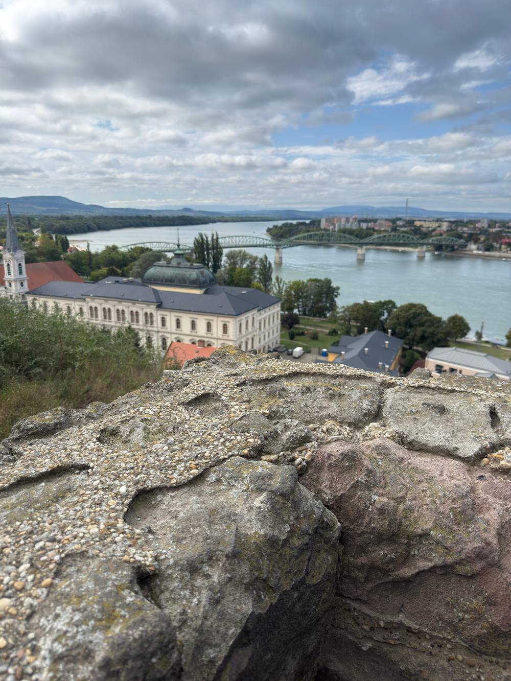
Petra's perspective on YouTube · The video waits until you tap play to load.
During the trail, you can collect stamps from 152 designated checkpoints to validate the completed sections.
Can you swim in the Danube? Yes, but not just anywhere. Under Hungary's rules for open water, as the Komárom-Esztergom county government office summarises them, you may bathe in rivers and lakes only where no ban applies or at legally designated bathing sites.4 In 2026, Budapest and Pest county had 25 designated natural bathing sites with a bathing permit, 4 in the capital and 21 in the county.34
Several of them are on the Bend. The 2026 list includes the Forgó beach at Dunabogdány, the Postás beach in Szentendre, the Nagymaros beach on Hunyadi sétány, the Verőce beach and the Partifecske free beach at Zebegény.35,19 Near Esztergom the designated sites are lake beaches at Palatinus lake rather than the river.36 In Komárom-Esztergom county the 2026 bathing season ran from 30 May to 13 September.24
The government office advises against swimming anywhere else: water quality is not tested, there are no showers, toilets or first aid, and an unknown riverbed and sudden drops make it dangerous.37,38 The park directorate notes the strong wash of large ships on the main channel, so even strong swimmers should stay near the shore.23 Kisoroszi's sandy island tip is beautiful for sunbathing, but check the list before you go in.39
The Bend is also a cycling route. A riverside path runs north from Római beach in Budapest to Szentendre, a gentle ride along the water.40 Start early on summer weekends, when the path fills with families, joggers and racing cyclists. In Szentendre, a self-guided rental package gives you a bike for the day with a helmet, repair kit, tools and a pump, and the bike goes back before 6 PM. From there the roads north towards Visegrád get busier, so plan your route and ride in single file on the narrower stretches.
For a hiking day without logistics, the guided Danube Bend Essentials day picks you up in Budapest, drives about 1 hour to the hills and spends 6 hours on the trails before driving back. You need decent fitness and sure footing on rough ground, as the listing states. It suits travellers who want the hills without working out trains, ferries and trailheads alone, and a small group means the pace can follow the slowest walker.
Whatever you choose, check conditions on the day. Trails close after storms, gorges flood in snowmelt, and river levels change fast. Carry water, a charged phone and a paper map, tell someone your route, and turn back early rather than late. The reward is worth it: a day in these hills shows a side of the Danube Bend that the coach window never does, with birdsong instead of traffic and the river glinting between the trees.
FAQ
The forestry company calls it one of Hungary's hardest marked trails, with possible rockfall; you walk it at your own risk.12
Come back down through the Lukács trench on the yellow trail.1
The tourism agency says the water there is calmer than on the main river.3
It includes 6 hours of hiking and van transfers of 1 hour each way.
They are its most popular sections, nearest the capital.25
It takes about an hour and suits beginners and small children.15
Sources
Planning a day up the river? Ask a real person here.